

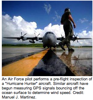
By pinpointing locations on Earth from space, GPS systems have long shown drivers the shortest route home and guided airline pilots across oceans. Now, by figuring out how messed up GPS satellite signals get when bouncing around in a storm, researchers have found a way to do something completely different with GPS: measure and map the wind speeds of hurricanes.
via GPS Daily

