

It has been nearly 100 years since the reflection seismic method was first used to image the subsurface, and since then it has evolved to deliver increasingly accurate 3D geological models and more reliable inversion to reveal indicators of rock properties. While developments in seismic sources and sensors have improved the frequency bandwidth that can be input to the subsurface and subsequently recorded back at the surface, achieving truly 3D high-resolution images of complex structures also requires adequate spatial sampling in both the inline and crossline directions.
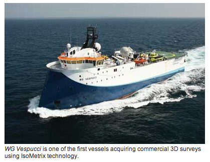
Despite a century of improvement in marine seismic acquisition and data processing technology, the method has, until recently, not delivered adequate spatial sampling. This limitation was overcome by the launch in June 2012 of the WesternGeco IsoMetrix marine isometric seismic service which, for the first time, fully captures the 3D wavefield using towed streamers, enabling reliable high-resolution imaging of complex subsurface structures.
via Offshore

