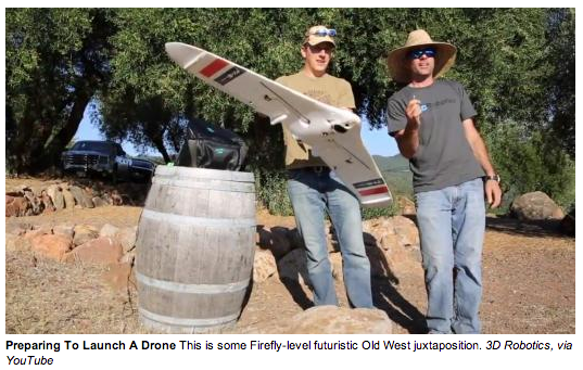
Sometimes it’s hard to get the big picture from the ground. In a vineyard, the color of vines and signs of stress are easier to see, especially for a whole field, from the sky. Today, this kind of aerial surveying for agriculture can be done with an appointment and service fee from a manned airplane or helicopter, but in the future it could all be done by drones the farmers’ themselves own.
via Popular Science
October 4, 2013
featured blogs
Apr 25, 2024
Cadence's seven -year partnership with'¯ Team4Tech '¯has given our employees unique opportunities to harness the power of technology and engage in a three -month philanthropic project to improve the livelihood of communities in need. In Fall 2023, this partnership allowed C...
Apr 24, 2024
Learn about maskless electron beam lithography and see how Multibeam's industry-first e-beam semiconductor lithography system leverages Synopsys software.The post Synopsys and Multibeam Accelerate Innovation with First Production-Ready E-Beam Lithography System appeared fir...
Apr 18, 2024
Are you ready for a revolution in robotic technology (as opposed to a robotic revolution, of course)?...